
Total Station Survey
Millimetre-level angular and distance measurement for precise plot, layout and construction control.
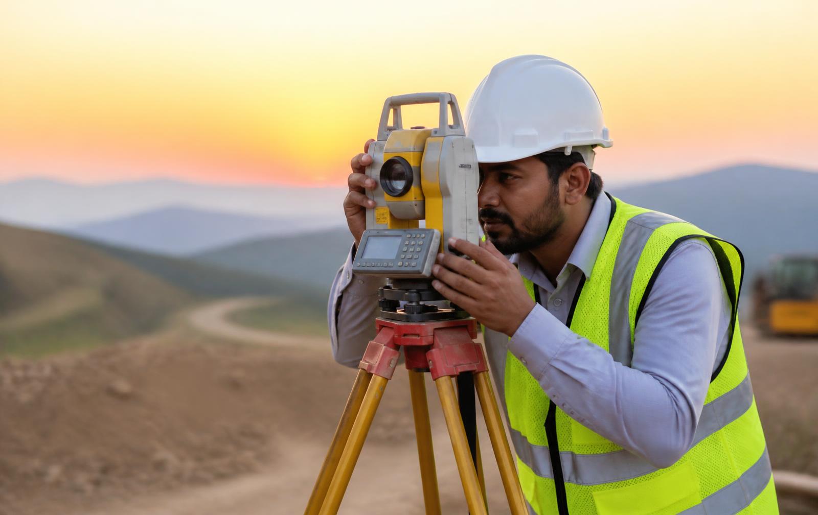
Advanced Total Station, DGPS, Drone, Topographic and Boundary Survey Services for Residential, Commercial, Industrial and Infrastructure Projects.
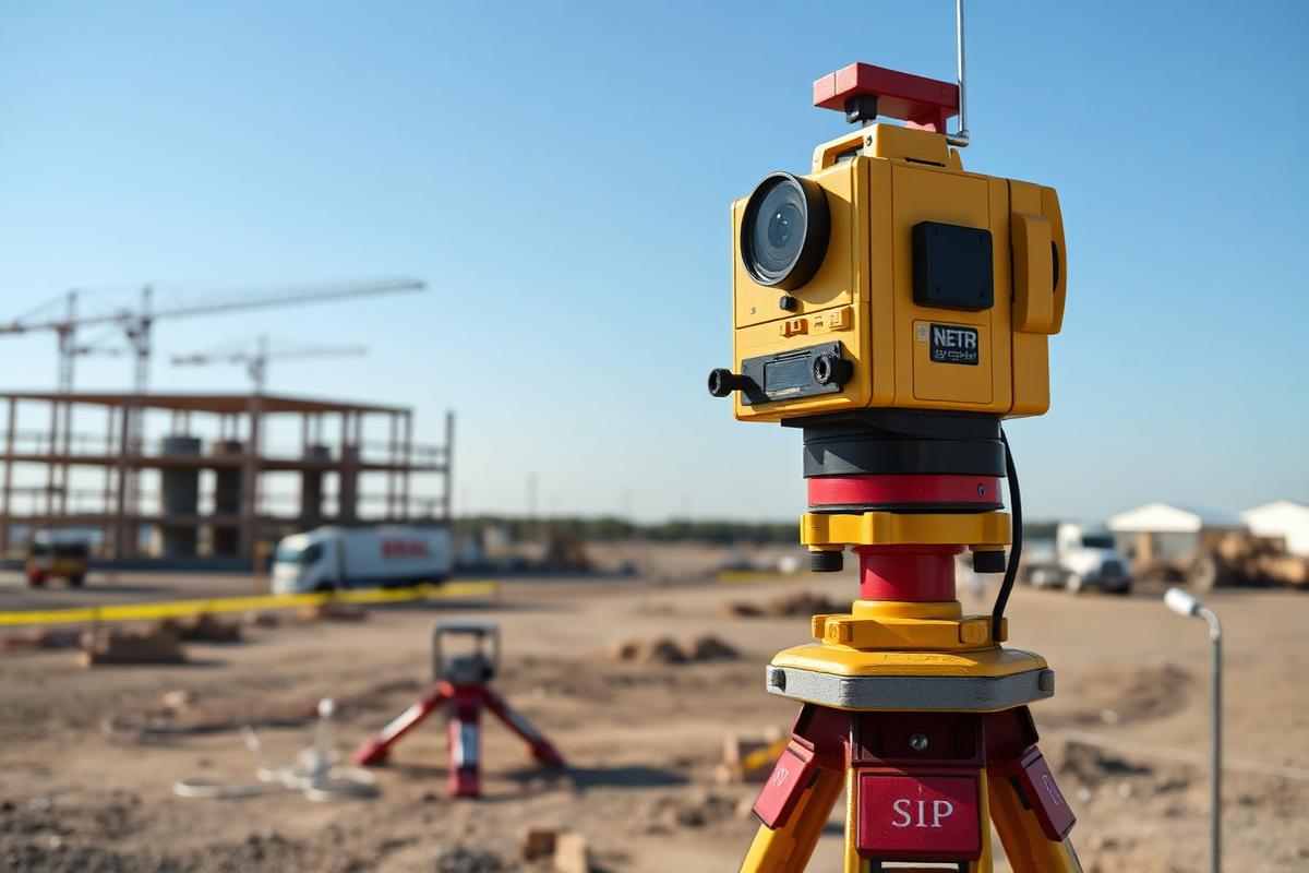
Aashraya Digital Land Surveyors is a Tumakuru-based professional land surveying firm delivering accurate, reliable and legally defensible survey solutions across Karnataka. Since 2023 we have supported builders, developers, industries, farmers and infrastructure contractors with engineering-grade field data.
Our team combines calibrated total stations, differential GNSS receivers, auto levels and survey drones with rigorous processing workflows. Every observation is closed, adjusted and cross-checked before a drawing leaves our office — so what you receive on paper matches what exists on the ground.
Precise Surveys. Reliable Results.
250+
Projects Completed
13
Survey Services
±8mm
Instrument Accuracy
30+
Districts Served
From a single residential plot to multi-kilometre infrastructure corridors, we deliver survey data your engineers can build on.
Millimetre-level angular and distance measurement for precise plot, layout and construction control.
Differential GNSS control points with centimetre accuracy on any coordinate system.
High-resolution photogrammetry covering large sites in hours, not weeks.
Complete natural and man-made feature capture with spot levels and contours.
Legal boundary verification, corner marking and encroachment identification.
Sub-division planning, plot marking and approval-ready layout drawings.
Column, footing and centre-line marking exactly as per architectural drawings.
Alignment, cross-sections, L-sections and RoW surveys for road projects.
Accurate contour intervals for drainage, grading and site development.
Cut and fill quantity computation with verifiable digital terrain models.
On-site stake-out of design coordinates and levels during execution.
Post-construction verification documenting what was actually built.
AutoCAD, DWG, PDF and GIS deliverables prepared to engineering standards.
Every project ends with documentation your architects, contractors and authorities can use directly.
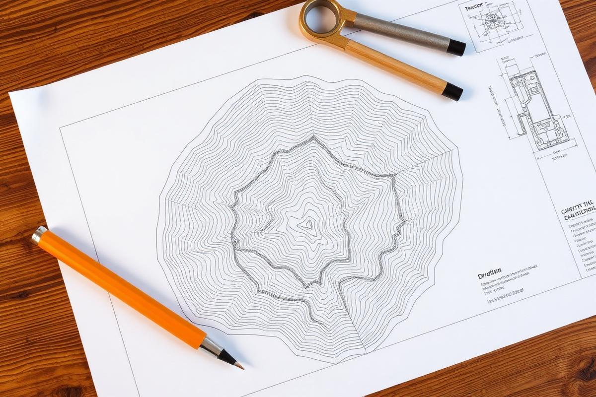
Dimensioned AutoCAD plans with boundary bearings, coordinate tables, area statements and north orientation — issued in DWG and PDF.
Request a sample deliverableTransparent from first call to final drawing — you always know which stage your project is in.
Share your land details and requirement. We respond with scope and pricing.
Our team inspects access, terrain and existing reference marks.
Permanent control stations are established with differential GNSS.
Total station, GNSS rover and drone capture every required detail.
Point clouds and observations are adjusted, checked and validated.
Signed drawings, reports and digital files handed over to you.
Every survey is closed, checked and adjusted before delivery.
Calibrated total stations, auto levels and GNSS receivers.
Aerial mapping and RTK corrections for large-area projects.
Typical residential plots delivered within 2–4 working days.
Transparent per-acre and per-project rates with no hidden charges.
Post-delivery clarifications with your architect or contractor.
“They marked our 3-acre layout with total station accuracy and gave clean CAD drawings in three days. Very professional team.”
Rajesh Gowda
Builder, Tumakuru
Still unsure? Call us — we give honest technical advice even before you book.
Cost depends on land area, terrain, survey type and deliverables. Residential plots start from a fixed minimum charge, while agricultural and layout land is quoted per acre. Share your location and area to get a written quotation the same day.
Fill in your project details and our engineer will respond with scope, timeline and pricing — usually the same day.
Based in Tumakuru and mobilising across Karnataka within 24–48 hours.
Office Address
Tumakuru, Karnataka 572101, India
Phone
08088247858Business Hours
Mon – Sat: 8:00 AM – 8:00 PM
Sunday: On appointment